Overview
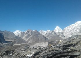
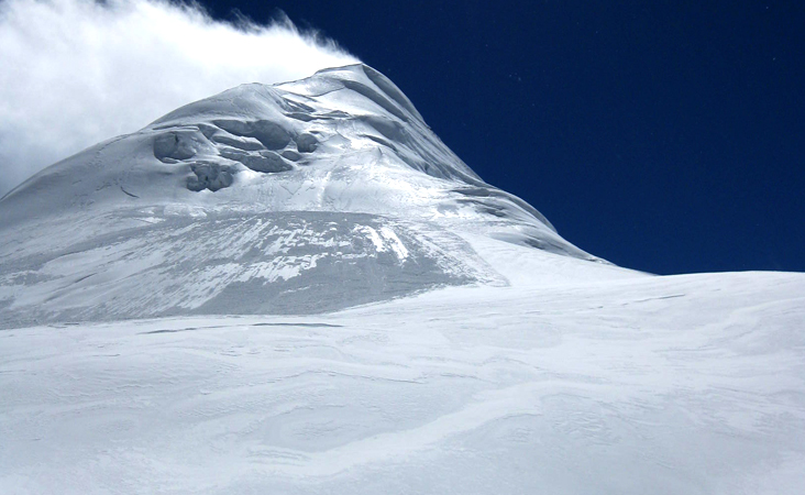
The Kanchanjanghā and Khangchendzonga, is the third-highest mountain in the world. Its summit lies at 8,586 m (28,169 ft) in a section of the Himalayas, the Kangchenjunga Himal, which is bounded in the west by the Tamur River, in the north by the Lhonak River and Jongsang La, and in the east by the Teesta River It lies in the border region between Nepal and Mangan district, Sikkim state of India, with three of the five peaks, namely Main, Central and South, directly on the border, and the peaks West and Kangbachen in Nepal's Taplejung District.
Until 1852, Kangchenjunga was assumed to be the highest mountain in the world, but calculations and measurements by the Great Trigonometrical Survey of India in 1849 showed that Mount Everest, known as Peak XV at the time, is actually higher. After allowing for further verification of all calculations, it was officially announced in 1856 that Kangchenjunga was the third-highest mountain.
The Kangchenjunga is a sacred mountain in Sikkim and was first climbed on 25 May 1955 by Joe Brown and George Band, who were part of the 1955 British Kangchenjunga expedition. They stopped just short of the true summit, keeping a promise given to Tashi Namgyal, the Chogyal of Sikkim, that the top of the mountain would remain inviolate. The Indian side of the mountain is off-limits to climbers. In 2016, the adjoining Khangchendzonga National Park was declared a UNESCO World Heritage Site.
Details Itinerary
Day 1: Kathmandu to Bhadrapur (Flight) to Ilam (Drive)
Ilam – 1677 m / 5501 ft – 5 hrs
Day 2: Ilam to Taplejung (Drive)
Taplejung – 1820 m / 5971 ft – 5 hrs
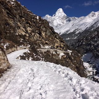
Day 3: Taplejung to Chirwa
Chirwa – 1270 m / 4166 ft – 6 hrs
Day 4: Chirwa to Lelep
Lelep – 1860 m / 6102 ft – 7 hrs
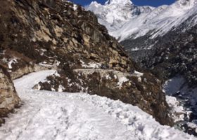
Day 5: Lelep to Amjilosa
Amjilosa – 2510 m / 8234 ft – 5 hrs
Day 6: Amjilosa to Gyabla
Gyabla – 2730 m / 8956 ft – 4 hrs
Day 7: Gyabla to Ghunsa
Ghunsa – 3595 m / 11794 ft – 4 hrs
Day 8: Acclimatization Day
Ghunsa – 3595 m / 11794 ft – 4 hrs
Day 9: Ghunsa to Kambachen
Kambachen – 4100 m / 13451 ft – 4 hrs
Day 10: Acclimatization Day
Kambachen – 4100 m / 13451 ft – 4 hrs
Day 11: Kambachen to Lhonak
Lhonak – 4785 m / 15698 ft – 4 hrs
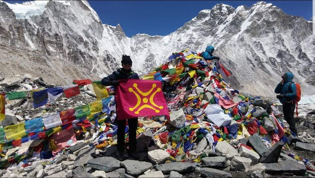
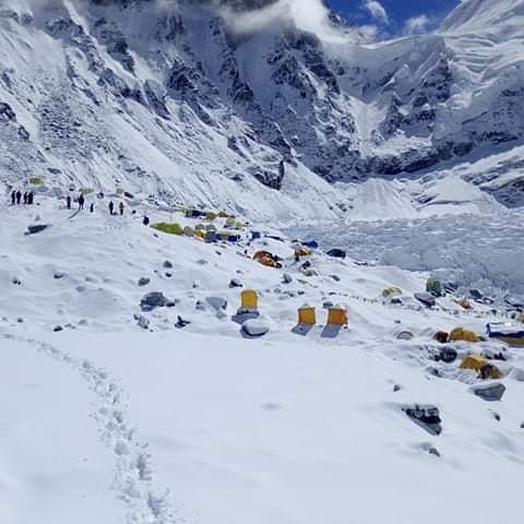
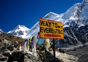
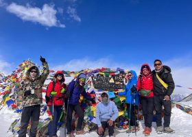
Day 12: Day Trip to Kanchenjunga North Base Camp
Lhonak – 4785 m / 15698 ft – 8 hrs
Day 13: Lhonak to Ghunsa
Ghunsa – 3595 m / 11794 ft – 7 hrs
Day 14: Ghunsa to Sele Le
Sele Le – 4390 m / 14402 ft – 5 hrs
Day 15: Sele Le to Cheram
Cheram – 3870 m / 12696 ft – 8 hrs
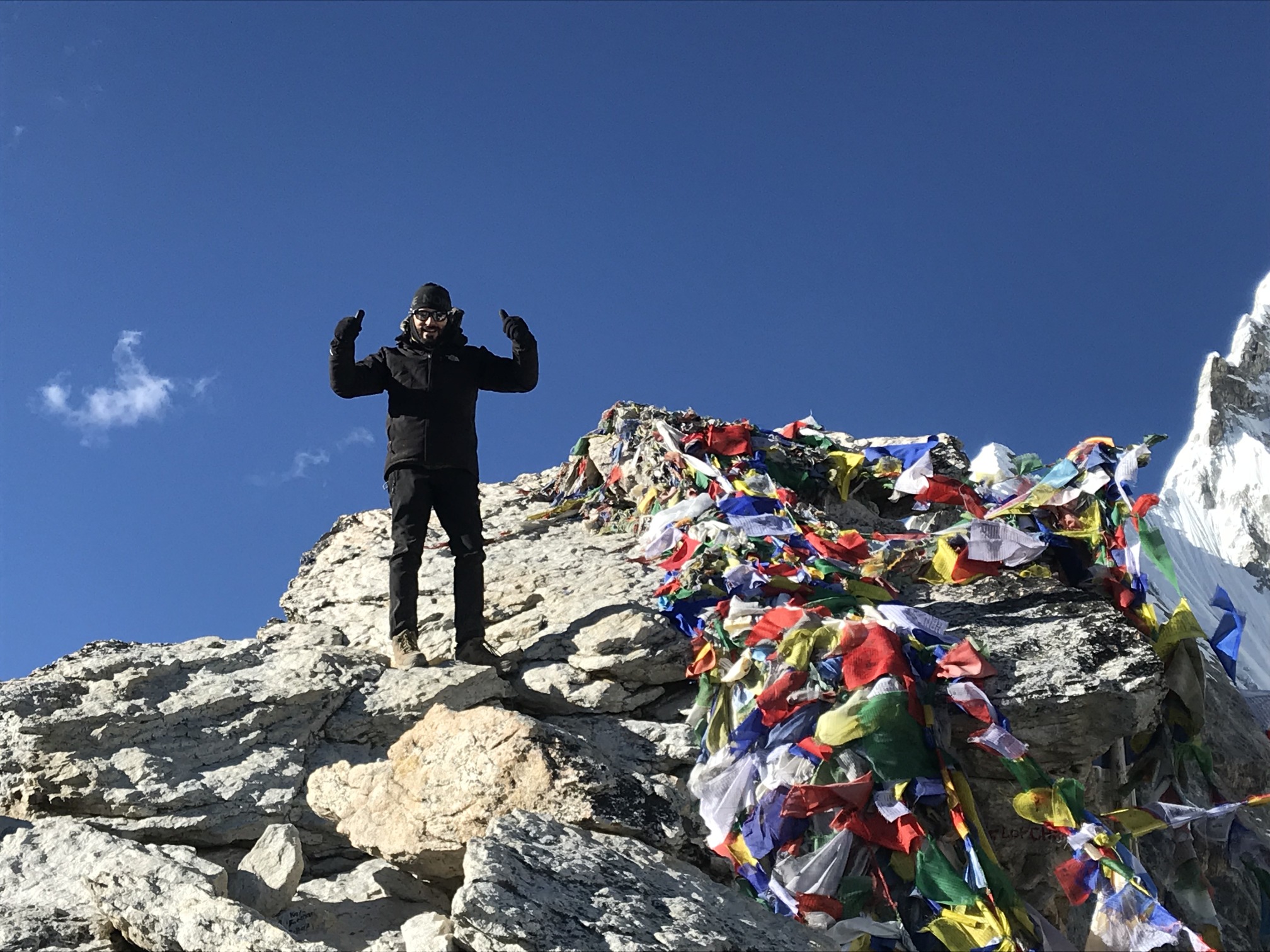
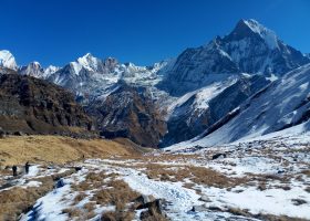
Day 16: Day Trip to Kanchenjunga South Base Camp
Cheram – 3870 m / 12696 ft – 6 hrs
Day 17: Cheram to Torongding
Torongding – 2080 m / 6824 ft – 4 hrs
Day 18: Torongding to Yamphuding
Yamphuding – 1980 m / 6496 ft – 8 hrs
Day 19: Yamphuding to Khebang
Khebang – 1910 m / 6266 ft – 4 hrs
Day 20: Khebang to Khamdime
Khamdime – 1500 m / 4921 ft – 4 hrs
Day 21: Khamdime to Bhadrapur (Drive)
Bhadrapur – 93 m / 305 ft – 10 hrs
Day 22: Bhadrapur to Kathmandu (Flight)
Kathmandu – 1300 m / 4265 ft – 50 minutes
Cost Details
Cost include on:
• 2 Night hotel in Pokhra including breakfast
• Kathmandu /Pokhara/Kathmandu by tourist Bus.
• 3 times meal during the hiking. (2 breakfast,3 Lunch and 2 dinners.
• 2-night lodge accommodation in trekking.
• 1 Hiking Guide
• Necessary Trekking permit and necessary paper.
Cost does not include on:
• all food in Pokhara
• personal expenses, phone call, laundry service etc.
• all bar bill coke, beer, water etc.
• Tips for guide, porter and driver.
Map
FAQs
-
Clothing & Equipment
-
Acclimatisation & Oxygen
-
Guides, Sherpas & Team Members
-
Health & Fitness
-
Communication & Electronic Devices
Will there be any access to a satellite phone? If yes then what would be the charges for usage?
Yes, most of our expedition guides take satellite phones and you are welcome to use these at wifi and local moble call Most often, your guide will post daily dispatches on the Nhh website in which your friends and family can follow your progress.I want to contact my friend or relative, who is on one of your trips, how can I reach them?
Many of our treks and climbs send daily internet dispatches, and we receive updates from our guides while they are in the field. The best place to reach a loved one is through our office.Will there be any power source for charging batteries, etc. available throughout the trek?
For lodge-bassed treks, many of the lodges have power available with typical Asian plugs (two nail like horizontal prongs) and offer to recharge for a fee.We can cater for special power requirements at an extra cost or advise on the purchase of a suitable personal solar charging system - please enquire with our office.
-
Insurance
-
Fees & Payments
-
Photography
-
Safety
-
Employment
Manual Notes:
PACKING HELP FOR TREKKING TOUR
Max. 13 kg weight for the porters/participants
Long trekking trousers, wind- and water-repellent
Functional shirt short-sleeved
Long-sleeved functional shirt
Fleece jacket or sweater
Trekking socks normal and warm
Functional underwear
Long underwear
Warm sleepwear
Clothing for the lodge
Wind and waterproof rain jacket
Down jacket (Primaloft) thin with hood
Down jacket warm with hood
Cap warm
Buff bandana / scarf
Coneflower / Cap
Gloves normal and warm
Trekking shoes ankle-high
Trekking sandals or sneakers for Teahouse
Category 4 sunglasses
headlamp
Sleeping bag
Drinking bottle, thermos bottle
trekking poles
spikes
Day pack, rain cover
packing bag
Plastic bag for documents ect.
Big bag or backpack
First Aid Kit…painkillers e.g. Ibuprofen, diarrhea and vomiting remedies, electrolytes, cold remedies, wound disinfectant, plasters, blister plasters
Sun protection face and lips with high SPF
Toilet paper
handkerchiefs
microfiber towel
ear plug
nail clippers
brush, comb
Wet cleaning wipes
hand disinfection
toothbrush, toothpaste
washing gel
face cream
lip care
power bank
Phone, charging cable, headphones
Camera, SD card, spare battery
E-reader, book, notebook, pen
passport
passport photos
cash, credit card
Document insurance for helicopter rescue and illness